


Copernicus: behind the scenes of the largest Earth observation programme
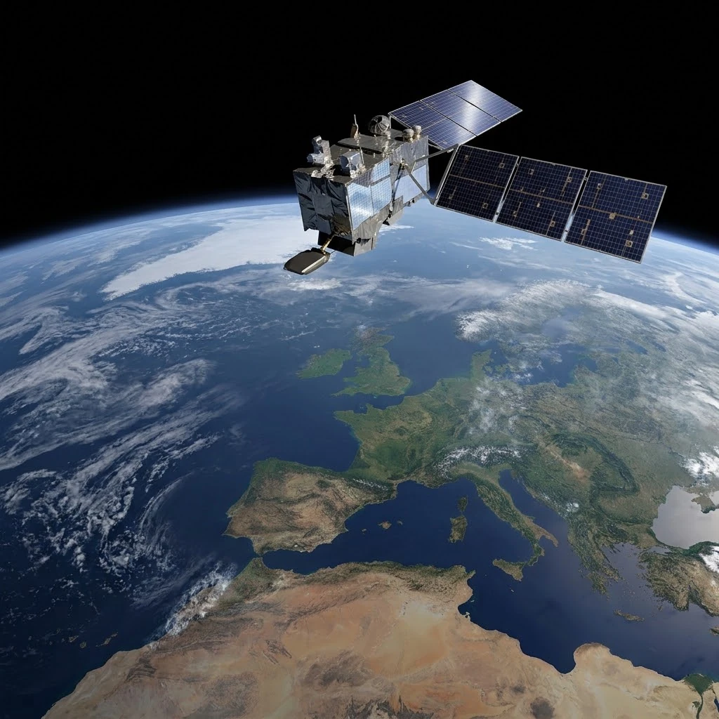
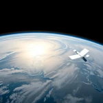
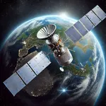
Visualisation of a Sentinel satellite from the Copernicus family flying over the Earth, whose instruments continuously capture data on the oceans, land masses and atmosphere. Terabytes of information are generated every day by the European programme.
Image source: astronoo.com (new window): AI-generated image, public domain.
Summary
Copernicus, the European Earth observation programme, has become in less than two decades an invisible but essential infrastructure. Behind the Sentinel satellites and the millions of terabytes of open data lies a complex value chain, from space engineering to public decision-making. This article explores the behind-the-scenes of the programme: recent missions (S-3C, S-1D, S-5A), next-generation industrial contracts, the volumes of data processed daily and the sovereignty issues that accompany this success. The goal is to understand how Copernicus is already transforming our relationship with climate, natural hazards and land management.
Why has Copernicus become indispensable?
A discreet but vital infrastructure
Copernicus is not a single satellite, nor even a single mission. It is a civil programme led by the European Commission, with ESA building the satellites and EUMETSAT operating certain missions. Its objective is simple to state and ambitious to achieve: to provide everyone with free and open access to reliable, up-to-date and usable Earth observation data.
This infrastructure now feeds six major services: atmosphere, marine, land, climate, emergency management and security. Behind these categories lie very concrete applications: crop forecasting, fire monitoring, flood alerts, air quality monitoring and damage assessment after a disaster. The programme has become a discreet but vital cog in public decision-making and research.
Also worth exploring
Continue your exploration of the Universe with these topics:
The Sentinel missions: an expanding constellation
Recent launches that strengthen coverage
2025 was a particularly active year for Copernicus. Sentinel-1D, launched on 4 November 2025 from Kourou aboard Ariane 6, acquired its first radar images a few days later, on 7 November[reference:0]. This 2,184 kg satellite is dedicated to radar observation of the Earth and restores the Sentinel-1 constellation after the launch of Sentinel-1C in 2024[reference:1]. Sentinel-5A, launched on 13 August 2025, began delivering its first atmospheric measurements on 13 October, including formaldehyde and ozone maps[reference:2].
In 2026, Sentinel-3C took over. Launched on 14 September 2026 from Kourou by a Vega-C rocket, it returned its first images and measurements of the Earth only two weeks later[reference:3]. Notably, the European Commission approved an unprecedented three-satellite configuration (Sentinel-3A, -3B and -3C) operating simultaneously, in order to increase the frequency of observations of the oceans, land and atmosphere[reference:4]. This decision illustrates the maturity of the programme and the confidence placed in data continuity.
Table of recent Sentinel missions
The table below summarises the main Sentinel missions launched or entering service between 2025 and 2026, with their preferred observation domains.
| Mission | Launch | Main domain | Key contribution |
|---|---|---|---|
| Sentinel-1D | 4 November 2025 | Radar, land and oceans | Continuity of all-weather radar imagery |
| Sentinel-5A | 13 August 2025 | Atmosphere | Monitoring of pollutants and greenhouse gases |
| Sentinel-3C | 14 September 2026 | Oceans, land, ice | Triple configuration for increased coverage |
| Sentinel-6B | 17 November 2025 | Ocean topography | Measurement of sea-level rise |
Sentinel-1 NG: the next generation of radars
An industrial contract worth 345 million euros
The successor is already being prepared. In June 2026, Airbus awarded Thales Alenia Space a contract worth 345 million euros for the development and production of two C-band radar instruments for the Sentinel-1 NG (Next Generation) constellation[reference:5]. This contract is part of an overall envelope of 700 million euros for the first two satellites of the series[reference:6].
The new SAR radars will offer significantly higher performance than the current generation: a swath of 400 km compared with 250 km, a geometric resolution improved by a factor of four (5 m × 5 m compared with 5 m × 20 m), and coverage extended to the polar regions thanks to MAPS technology[reference:7]. The first launch is planned for around 2034, with service continuity ensured until the 2040s[reference:8].
The data deluge: volumes and infrastructure
From terabytes to petabytes
Copernicus produces several terabytes of open data every day, and some satellites such as Sentinel-2 observe the entire land surface every five days at a resolution of 10 metres[reference:9][reference:10]. The CDSE, the main access platform, has crossed a symbolic milestone: in 2025, more than 242 petabytes of data were delivered, and direct Sentinel downloads exceeded 100 petabytes for the first time[reference:11].
The platform holds approximately 91 petabytes of online data and more than 120 million Sentinel products archived[reference:12]. It recorded 542,622 registered users at the end of 2025, including more than 250,000 new arrivals during the year[reference:13]. These figures reflect massive adoption, well beyond the scientific community.
Table of data volumes (2025)
The table below summarises the main volume and usage indicators of the CDSE for the year 2025.
| Indicator | Value | Meaning |
|---|---|---|
| Online data | ≈ 91 PB | Immediately accessible archive |
| Data delivered | > 242 PB | Total volume served to users |
| Sentinel downloads | > 100 PB | First time above 100 PB |
| Archived products | > 120 million | Multi-mission coverage |
| Registered users | 542,622 | Global community |
Concrete applications on the ground
Emergencies, agriculture and climate
The Copernicus Emergency Management Service (CEMS) provides rapid risk mapping and early warning systems for floods, forest fires and droughts on a global scale[reference:14]. The Global Flood Awareness System can anticipate floods up to 30 days in advance, while the Global Drought Observatory monitors agricultural impacts[reference:15].
In agriculture, Sentinel-2 data enable farmers to monitor soil moisture, crop growth and weather conditions, thereby optimising yields and reducing water consumption[reference:16]. For climate, Copernicus plays a growing role in verifying commitments under the Paris Agreement and monitoring the United Nations Sustainable Development Goals[reference:17].
Sovereignty and the future of the programme
A European infrastructure
The CDSE is not just a data catalogue: it is a cloud-native processing platform operated by a European consortium (T-Systems, CloudFerro, Sinergise, VITO, DLR, ACRI-st, RHEA Group) under the leadership of ESA[reference:18]. The infrastructure runs on European soil, operated by European companies, making it a concrete example of data sovereignty[reference:19].
This strategic dimension is increasingly affirmed. The Council of the European Union reiterated in 2025 that Copernicus is a civil, operational and EU-guided programme, based on an open data access policy[reference:20]. At a time when geospatial artificial intelligence is developing, control of an authoritative data archive is becoming an asset as important as computing power[reference:21].
Key takeaways
Copernicus is no longer a technological gamble: it is an operational reality. Sentinel satellites are multiplying, data volumes are growing exponentially and applications touch fields as varied as agriculture, civil security and climate diplomacy. Behind this success lies an integrated European value chain, from radar engineering to the provision of open data.
Many challenges remain: maintaining mission continuity, absorbing ever-larger volumes, guaranteeing equitable access and preserving sovereignty in the face of non-European actors. But one thing is certain: Copernicus has already changed the way Europe observes, understands and protects its planet. Nicolaus Copernicus (1473-1543) moved the Earth from the centre of the Universe; the programme bearing his name now places the Earth at the centre of our concerns.
References
- CNES - Copernicus: a European programme to monitor the state of the planet in real time (new window)
- ESA - Introducing Copernicus (the Sentinel satellites) (new window)
- Copernicus Climate Change Service (C3S) - About us (new window)
- EUR-Lex - Regulation (EU) No 377/2014 establishing the Copernicus programme (new window)
FAQ: Copernicus and Earth observation
What is the Copernicus programme?
Copernicus is the European Earth observation programme. It is led by the European Commission, with ESA building the satellites and EUMETSAT operating certain missions. Its objective is to provide open and free data on the state of the planet.
How many Sentinel satellites are there?
The Sentinel family includes several specialised missions: Sentinel-1 (radar), Sentinel-2 (optical), Sentinel-3 (oceans and land), Sentinel-5 (atmosphere) and Sentinel-6 (ocean topography), among others. New satellites are launched regularly to ensure continuity and extend coverage.
Is Copernicus data really free?
Yes. Copernicus is based on an open access policy: Sentinel data are free and accessible to all via the Copernicus Data Space Ecosystem (CDSE). This free access is a strong political choice, intended to maximise scientific, economic and societal uses.
What are Copernicus data used for in everyday life?
They are used to monitor oceans, forests, crops, air quality, natural disasters and the climate. They feed alert services, decision-support tools and commercial applications in many sectors.
What is Sentinel-1 NG?
Sentinel-1 NG (Next Generation) is the future generation of Copernicus radar satellites. It will offer wider coverage, better resolution and increased observation capacity, with a first launch planned for around 2034.
Why do we talk about data sovereignty?
Because the infrastructure that hosts and processes Copernicus data is operated by European companies on European soil. This control is considered strategic at a time when geospatial data are becoming an essential asset for artificial intelligence and public decision-making.
Copernicus and climate change: what is the link?
Copernicus provides essential data for monitoring sea-level rise, ice melt, surface temperatures, atmospheric composition and extreme events. These observations are used to verify climate commitments and guide adaptation policies.
 Earth observation: behind the scenes of the Russian programme
 ISRO: behind the scenes of India's Earth observation programme
 Landsat, USGEO, ESO: the American Earth observation ecosystem
 CHEOS: behind the scenes of the Chinese Earth observation system
 Copernicus: behind the scenes of the largest Earth observation programme
 How to Spot Starlink Satellite Trains in the Sky?
 AI, the Astronomer's New Eye: From Analysis to Cosmic Prediction
 What
the First Images from Perseverance Show Us: The Surface of Mars, As If We Were There
 GRAIL
Twin Probes: Mapping the Moon's Hidden Interior
 Earth Under Surveillance: Observation Satellites
 March 2010: The
Ring of Fire Captured by the SDO Observatory
 Positions of Space Probes in 2025
 Giants of Observation: The Largest Ground-Based Telescopes
 Low
Earth Orbits and their uses
 Pioneer, first message to extraterrestrials!
 Infrared images: how to make them visible?
 Sputnik 1
and 2: The Dawn of the Space Age
 Lagrange Points: Gravitational Gateways of the Solar System
 Mars Reconnaissance
Orbiter: The Lynx Eye Revealing Martian Secrets
 Kepler:
4,000 Worlds and More, A New Map of the Sky
 Cheops
Space Telescope: A New Vision on Exoplanets
 The world of Planck
 Rosetta
Space Probe: Comet Churyumov-Gerasimenko
 The
Hubble Space Telescope: Three Decades of Revelations
 Première photo du télescope Hubble
 Satellites that measure underwater relief
 MESSENGER:
The First Probe to Visit the Mysterious Planet
 How GPS Locates
Your Position at Any Time?
 The ISS and Beyond? Towards the End of a Space Chapter
 Space Telescopes: Humanity's Eye Beyond the Atmosphere
 Space
Probes: Interplanetary Travelers and Beyond
 The GAIA
satellite maps the Milky Way
 How
to calculate the synchronous orbit?
 E-ELT: The World's Largest Optical Telescope
 Mercury probes
 Space
debris: the nightmare of operational satellites
 Aquarius:
A Mission to Map Ocean Salinity
 JWST:
An Unprecedented Look at the First Lights of the Universe
 METEOSAT: A Key Satellite for Climate Monitoring
 Curiosity, the first shovel, sample of Martian soil
 From
Mariner to Perseverance: Successes and Failures of Mars Probes
 Where is the geostationary orbit?
 MOM, the
technological demonstration
 Venus under surveillance: an overview of space probes
 What Is an Astronomical
Interferometer?
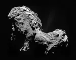 The Philae Robot and the Rosetta Comet
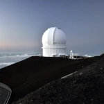 Mauna
Kea Under the Stars: The CFHT Telescope in Pursuit of the Universe's Mysteries