Stunning view of our wonderful and fragile planet, taken by the Meteosat-9 (MSG-2) satellite, from the Indian Ocean and Asia side.
Characteristics of METEOSAT Satellites
The Meteosat weather satellites are a series of geostationary satellites operated by EUMETSAT. They provide continuous observation of climate and meteorology in Europe, Africa, and the Atlantic.
Orbit and Positioning
Orbit type: Geostationary (35,786 km altitude).
Position: Aligned with the Greenwich meridian (~0° longitude).
Orbital period: 24 hours, synchronous with Earth's rotation.
Generations of Satellites
Meteosat 1 to 7 (First Generation)
MVIRI imager with 3 channels (visible, thermal infrared, water vapor).
Resolution: 2.5 km (visible), 5 km (infrared).
Image frequency: every 30 minutes.
Meteosat 8 to 11 (Second Generation)
SEVIRI imager with 12 channels.
Resolution: 1 km (HR visible), 3 km (other channels).
Image frequency: every 15 minutes (5 minutes for targeted regions).
GERB sensor for Earth's radiation budget.
Third Generation Meteosat (MTG)
FCI imager with 16 channels, resolution up to 500 m.
Lightning detection with LI (Lightning Imager).
Measurement of temperature and humidity profiles with IRS.
Meteorological Applications
Monitoring of extreme weather phenomena (storms, cyclones).
Predictions of temperature, humidity, and cloud cover.
Long-term climate studies.
Tracking of atmospheric circulation and radiative exchanges.

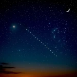 How to Spot Starlink Satellite Trains in the Sky?
  AI, the Astronomer's New Eye: From Analysis to Cosmic Prediction
 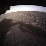 What the First Images from Perseverance Show Us: The Surface of Mars, As If We Were There
 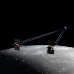 GRAIL Twin Probes: Mapping the Moon's Hidden Interior
 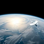 Earth Under Surveillance: Observation Satellites
 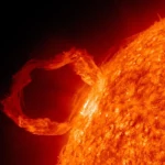 March 2010: The Ring of Fire Captured by the SDO Observatory
 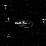 Positions of Space Probes in 2025
  Giants of Observation: The Largest Ground-Based Telescopes
 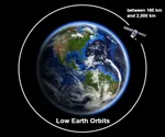 Low Earth Orbits and their uses
 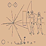 Pioneer, first message to extraterrestrials!
  How to see infrared images from JWST?
 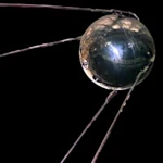 Sputnik 1 and 2: The Dawn of the Space Age
  ENVISAT: Ten Years of Uninterrupted Observation of Earth's Ecosystems
 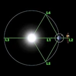 Lagrange Points: Gravitational Gateways of the Solar System
 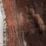 Mars Reconnaissance Orbiter: The Lynx Eye Revealing Martian Secrets
 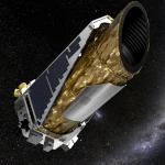 Kepler: 4,000 Worlds and More, A New Map of the Sky
  Why Measure Space at the Nanometer Level?
 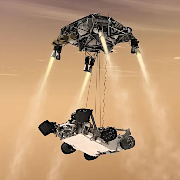 High-risk landing for Curiosity in 2012
 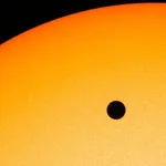 Cheops Space Telescope: A New Vision on Exoplanets
  The world of Planck
 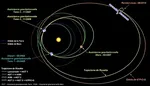 Rosetta Space Probe: Comet Churyumov-Gerasimenko
  The Hubble Space Telescope: Three Decades of Revelations
 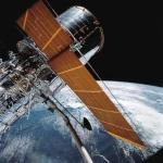 Première photo du télescope Hubble
 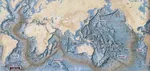 Satellites that measure underwater relief
 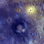 MESSENGER: The First Probe to Visit the Mysterious Planet
  How GPS Locates Your Position at Any Time?
  The ISS and Beyond? Towards the End of a Space Chapter
  Space Telescopes: Humanity's Eye Beyond the Atmosphere
  Space Probes: Interplanetary Travelers and Beyond
 The GAIA satellite maps the Milky Way
 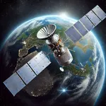 How to calculate the synchronous orbit?
  E-ELT: The World's Largest Optical Telescope
  Mercury probes
  Space Debris: The Nightmare of Modern Satellites
 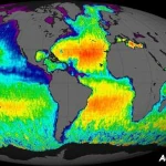 Aquarius: A Mission to Map Ocean Salinity
  JWST: An Unprecedented Look at the First Lights of the Universe
 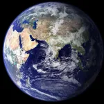 METEOSAT: A Key Satellite for Climate Monitoring
  Curiosity, the first shovel, sample of Martian soil
 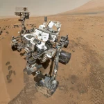 From Mariner to Perseverance: Successes and Failures of Mars Probes
  Where is the geostationary orbit?
 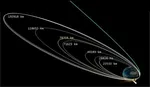 MOM, the technological demonstration
 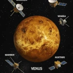 Venus under surveillance: an overview of space probes
 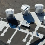 What Is an Astronomical Interferometer?
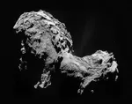 The Philae Robot and the Rosetta Comet
 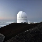 Mauna Kea Under the Stars: The CFHT Telescope in Pursuit of the Universe's Mysteries