ENVISAT (ENVIronmental SATellite) was the largest Earth observation satellite ever built by the European Space Agency (ESA). Launched on March 1, 2002, by an Ariane 5 rocket from the Guiana Space Center, this 8.2-ton, 10-meter-long colossus revolutionized global environmental monitoring for a decade. Its mission ended abruptly on April 8, 2012, after a sudden loss of communication, but its scientific legacy remains considerable.
ENVISAT carried a sophisticated suite of 10 scientific instruments designed to simultaneously measure various terrestrial, atmospheric, and oceanic parameters:
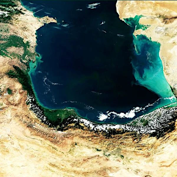
The RA-2 altimeter measured the ocean surface topography with centimeter precision, enabling the study of marine currents, ocean circulation, and sea level rise. MERIS quantified chlorophyll-a, providing crucial data on phytoplankton productivity and the health of marine ecosystems.
The MIPAS, SCIAMACHY, and GOMOS instruments made detailed measurements of atmospheric trace gases, monitoring the evolution of the ozone layer, aerosol distribution, and the concentration of greenhouse gases such as CO₂ and CH₄. This data was vital for climate change studies.
ASAR provided radar images independent of weather conditions and solar illumination, enabling the monitoring of polar ice, forests, soils, and urban areas. MERIS tracked the state of vegetation and land use changes on a global scale.
| Parameter | Value | Description | Importance |
|---|---|---|---|
| Launch mass | 8211 kg | Heaviest civil observation satellite | Capacity to carry multiple instruments |
| Dimensions | 10 m × 4 m × 4 m | Wingspan with deployed panels: 26 m | Available volume for instruments |
| Orbit | Polar sun-synchronous | Altitude: 800 km, inclination: 98.55° | Global repetitive coverage |
| Revolution period | 101 minutes | 14.3 orbits/day | Revisit frequency |
| Electrical power | 6500 W | 70 m² solar panels | Power supply for instruments |
| Expected lifespan | 5 years | Effective mission: 10 years, 1 month | Robustness and reliability |
| Data rate | 100 Mbps | Transmission in X and Ka bands | Large volume of scientific data |
Source: ESA Earth Online - ENVISAT Mission and ESA - ENVISAT Mission Details.
Although the ENVISAT mission ended prematurely, its scientific legacy continues through the Sentinel missions of the Copernicus program. The Copernicus program, launched by the European Union in collaboration with the European Space Agency (ESA), is planned for long-term operation, at least until 2030, with the possibility of extension beyond depending on operational needs and funding.
Objective of the Copernicus program: to provide continuous and sustainable Earth observation, with free data for environmental monitoring, agriculture, disaster management, and climate change tracking.
 How to Spot Starlink Satellite Trains in the Sky?
  AI, the Astronomer's New Eye: From Analysis to Cosmic Prediction
  What the First Images from Perseverance Show Us: The Surface of Mars, As If We Were There
  GRAIL Twin Probes: Mapping the Moon's Hidden Interior
 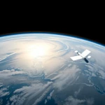 Earth Under Surveillance: Observation Satellites
 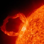 March 2010: The Ring of Fire Captured by the SDO Observatory
 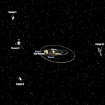 Positions of Space Probes in 2025
  Giants of Observation: The Largest Ground-Based Telescopes
 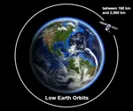 Low Earth Orbits and their uses
 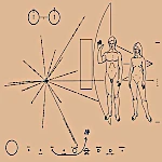 Pioneer, first message to extraterrestrials!
  How to see infrared images from JWST?
 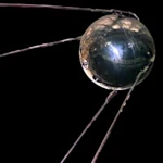 Sputnik 1 and 2: The Dawn of the Space Age
 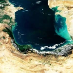 ENVISAT: Ten Years of Uninterrupted Observation of Earth's Ecosystems
 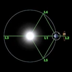 Lagrange Points: Gravitational Gateways of the Solar System
  Mars Reconnaissance Orbiter: The Lynx Eye Revealing Martian Secrets
 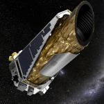 Kepler: 4,000 Worlds and More, A New Map of the Sky
  Why Measure Space at the Nanometer Level?
 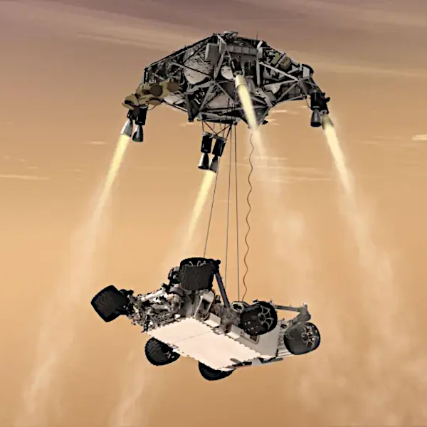 High-risk landing for Curiosity in 2012
  Cheops Space Telescope: A New Vision on Exoplanets
  The world of Planck
  Rosetta Space Probe: Comet Churyumov-Gerasimenko
 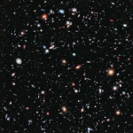 The Hubble Space Telescope: Three Decades of Revelations
 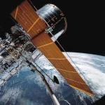 Première photo du télescope Hubble
 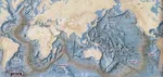 Satellites that measure underwater relief
 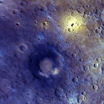 MESSENGER: The First Probe to Visit the Mysterious Planet
  How GPS Locates Your Position at Any Time?
  The ISS and Beyond? Towards the End of a Space Chapter
  Space Telescopes: Humanity's Eye Beyond the Atmosphere
  Space Probes: Interplanetary Travelers and Beyond
 The GAIA satellite maps the Milky Way
 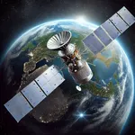 How to calculate the synchronous orbit?
  E-ELT: The World's Largest Optical Telescope
  Mercury probes
 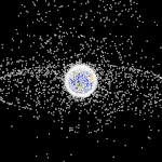 Space Debris: The Nightmare of Modern Satellites
 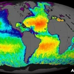 Aquarius: A Mission to Map Ocean Salinity
 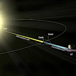 JWST: An Unprecedented Look at the First Lights of the Universe
 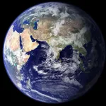 METEOSAT: A Key Satellite for Climate Monitoring
 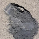 Curiosity, the first shovel, sample of Martian soil
 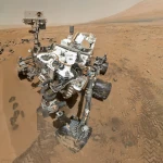 From Mariner to Perseverance: Successes and Failures of Mars Probes
  Where is the geostationary orbit?
  MOM, the technological demonstration
 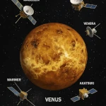 Venus under surveillance: an overview of space probes
 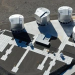 What Is an Astronomical Interferometer?
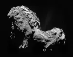 The Philae Robot and the Rosetta Comet
 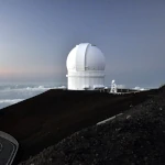 Mauna Kea Under the Stars: The CFHT Telescope in Pursuit of the Universe's Mysteries