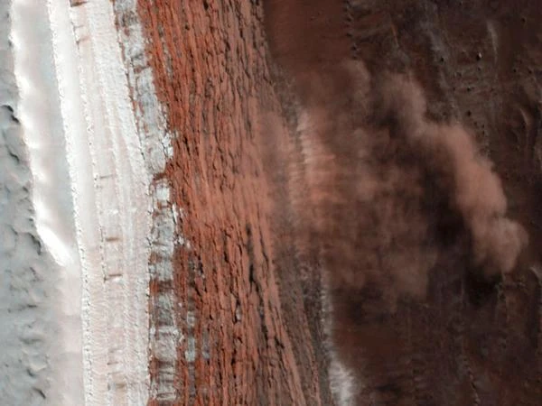
The Mars Reconnaissance Orbiter (MRO) is a versatile orbital platform designed for geophysical, mineralogical, and climatic observation of Mars. Launched on August 12, 2005, and inserted into Martian orbit on March 10, 2006, MRO combines a set of high spatial and spectral resolution instruments with a data relay capability for landers and rovers. Its launch mass is approximately 2,180 kg, and the probe operates from a quasi-circular low orbit (variable slope around ~250–320 km), optimized for the HiRISE camera and the SHARAD radar.
From an orbital perspective, MRO was placed in a low quasi-circular polar orbit to optimize spatial resolution and observation repeatability. The typical nadir altitude for HiRISE is between ~255 and 320 km, resulting in a ground scale close to 0.25–0.32 m/pixel for vertical shots. This scale is a direct result of optical geometry: for a telescope with diameter \(D\) and focal length \(f\), the theoretical angular resolution limited by diffraction follows approximately \(\theta \approx 1.22 \frac{\lambda}{D}\). However, the achieved resolution (~0.3 m/pixel) results from a compromise between optics, attitude stability, observation altitude, and detector size.
HiRISE (High Resolution Imaging Science Experiment) is the flagship instrument of MRO. It is a 0.5 m diameter telescope, focusing light on a 20,000-pixel-wide CCD detector. This configuration allows obtaining images where each pixel covers less than one square meter of the Martian surface. Optical alignment and thermal stability constraints are critical: a shift of a few microradians is enough to degrade image sharpness.
In nearly two decades of observation, MRO has transformed our knowledge of Mars:
| Instrument | Function | Resolution | Spectral Range |
|---|---|---|---|
| HiRISE | High-resolution optical imaging | 0.25–0.32 m/pixel | Visible (~0.4–0.9 µm) |
| CRISM | Mineralogical spectral analysis | 18–36 m/pixel | Visible to near IR (0.36–3.9 µm) |
| SHARAD | Subsurface sounding radar | 15 m vertical / 3000 m horizontal | 15–25 MHz |
Source: NASA Mars Reconnaissance Orbiter and HiRISE University of Arizona.
 How to Spot Starlink Satellite Trains in the Sky?
  AI, the Astronomer's New Eye: From Analysis to Cosmic Prediction
  What the First Images from Perseverance Show Us: The Surface of Mars, As If We Were There
  GRAIL Twin Probes: Mapping the Moon's Hidden Interior
 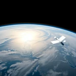 Earth Under Surveillance: Observation Satellites
 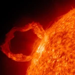 March 2010: The Ring of Fire Captured by the SDO Observatory
 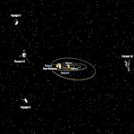 Positions of Space Probes in 2025
  Giants of Observation: The Largest Ground-Based Telescopes
 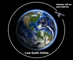 Low Earth Orbits and their uses
 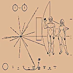 Pioneer, first message to extraterrestrials!
  How to see infrared images from JWST?
 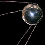 Sputnik 1 and 2: The Dawn of the Space Age
 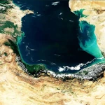 ENVISAT: Ten Years of Uninterrupted Observation of Earth's Ecosystems
 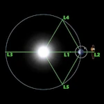 Lagrange Points: Gravitational Gateways of the Solar System
 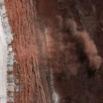 Mars Reconnaissance Orbiter: The Lynx Eye Revealing Martian Secrets
 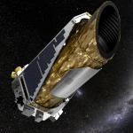 Kepler: 4,000 Worlds and More, A New Map of the Sky
  Why Measure Space at the Nanometer Level?
 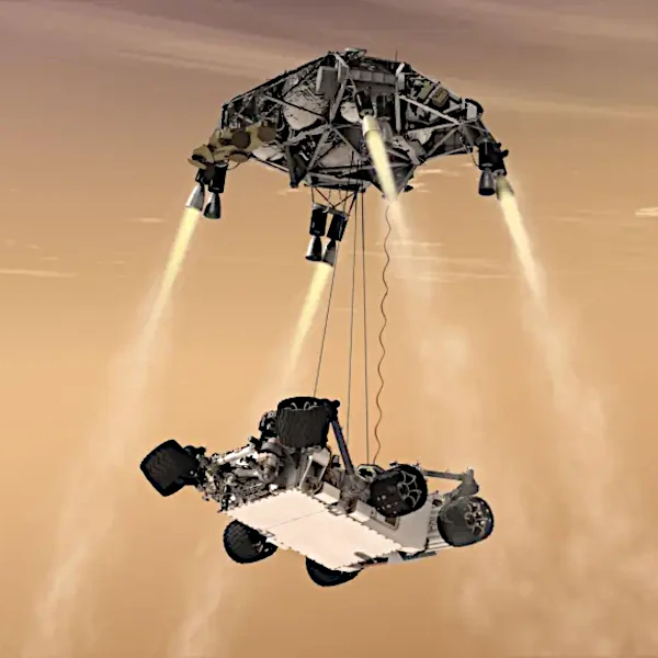 High-risk landing for Curiosity in 2012
  Cheops Space Telescope: A New Vision on Exoplanets
  The world of Planck
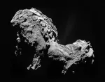
  Rosetta Space Probe: Comet Churyumov-Gerasimenko
  The Hubble Space Telescope: Three Decades of Revelations
 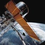 Première photo du télescope Hubble
 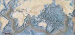 Satellites that measure underwater relief
 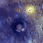 MESSENGER: The First Probe to Visit the Mysterious Planet
 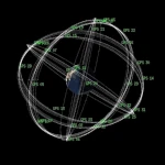 How GPS Locates Your Position at Any Time?
  The ISS and Beyond? Towards the End of a Space Chapter
  Space Telescopes: Humanity's Eye Beyond the Atmosphere
  Space Probes: Interplanetary Travelers and Beyond
 The GAIA satellite maps the Milky Way
 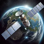 How to calculate the synchronous orbit?
  E-ELT: The World's Largest Optical Telescope
  Mercury probes
  Space Debris: The Nightmare of Modern Satellites
 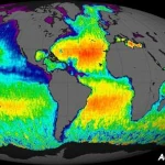 Aquarius: A Mission to Map Ocean Salinity
  JWST: An Unprecedented Look at the First Lights of the Universe
  METEOSAT: A Key Satellite for Climate Monitoring
 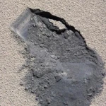 Curiosity, the first shovel, sample of Martian soil
 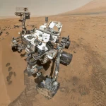 From Mariner to Perseverance: Successes and Failures of Mars Probes
 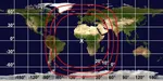 Where is the geostationary orbit?
 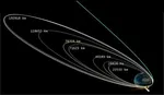 MOM, the technological demonstration
 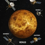 Venus under surveillance: an overview of space probes
 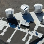 What Is an Astronomical Interferometer?
 The Philae Robot and the Rosetta Comet
 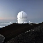 Mauna Kea Under the Stars: The CFHT Telescope in Pursuit of the Universe's Mysteries