Satellite laser ranging is a space geodesy technique for measuring the distance between a ground station and a satellite equipped with retro-reflectors, with precision reaching the nanometer level. The principle is based on sending a laser pulse from a ground station. This pulse is reflected by the satellite and returns to the station. The round-trip time, measured with atomic clocks, allows calculating the distance using the formula \(d = \dfrac{c \cdot t}{2}\), where \(c\) is the speed of light and \(t\) is the measured time.
Thanks to the high stability of pulsed lasers and differential measurements combined with atmospheric correction models, SLR systems allow the detection of minute distance changes, down to the nanometer, which is essential for studying plate tectonics, mean sea level, or the Earth's gravitational field.
Tectonic movements are generally measured on the scale of millimeters per year. However, many critical geophysical processes, such as slow slips, inter-seismic elastic deformation, or plate coupling, generate very low amplitude displacement signals, sometimes on the order of a few tens of nanometers per year. Without extremely precise instrumentation, these signals are undetectable.
Satellite laser ranging (SLR), in conjunction with permanent GNSS networks, allows tracking the positions of geodetic stations on the Earth's surface with nanometric precision. This precision is essential for:
In some cases, particularly in subduction zones (such as in Japan or Chile), the Earth's surface may contract or expand by just a few tens of nanometers over several months. It is the deferred analysis, via laser and GNSS networks, that allows reconstructing these slow and silent deformations, possible precursors to major earthquakes.
Thus, measuring plate tectonics at the nanometer level is not only about better understanding Earth dynamics: it is also about anticipating disasters and refining physical models of the seismic cycle.
Nanometric precision in measuring mean sea levels is not a technological luxury, but a scientific necessity. The global sea level varies by about 3 to 4 mm per year, a signal that is already weak and often masked by larger local fluctuations due to tides, currents, atmospheric pressures, or ground subsidence. To isolate the truly climatic component, measurements of extreme stability are required.
Traditional tide gauges measure the relative elevation of the sea, but this is distorted if the ground sinks or rises. This is why the vertical position of each measuring station must be known with a precision on the order of millimeters, or even nanometers. A systematic error of 1 mm/year over a decade produces a drift of 1 cm in climate models.
Satellite laser ranging (SLR), coupled with GNSS systems, corrects these biases by measuring with nanometric precision the distance between ground stations and geodetic satellites like LAGEOS. This allows for fine calibration of the terrestrial geoid, as well as a better evaluation of isostatic, tectonic, or gravitational effects induced by the melting of ice caps.
In geophysics, this extreme precision is also essential for detecting slow slips of tectonic plates, modeling post-glacial isostatic adjustment (GIA), or differentiating true oceanic signals from possible instrumental drifts. Measuring at the nanometer level ensures that the millimeter is reliable.
A local variation of one millimeter per year, poorly resolved, can lead to a cumulative error of several centimeters over a decade, which would distort coastal erosion models, flooding, or climate impact. However, to correct these models, it is necessary to measure the vertical movements of reference stations with precision better than the signal to be detected. Hence the need for sub-millimeter, or even nanometric, scale in differential observations.
The Earth's gravitational field is neither constant nor perfectly spherical. It varies in space and time due to mass displacements: redistribution of atmospheric, oceanic, and underground water, melting glaciers, mantle convection, or crustal deformation. These variations, although weak, are fundamental for understanding the Earth's internal dynamics and exchanges between different envelopes.
Thanks to satellite laser ranging (SLR), it is possible to determine with extreme precision the orbits of geodetic satellites such as LAGEOS or Starlette. The gravitational perturbations modifying their trajectory then allow inferring the mass distribution on the planet. Tiny changes in speed or altitude, on the order of nanometers per second, become sensitive indicators of these redistributions.
These measurements allow:
With satellite gravimetric missions such as GRACE and GRACE-FO, complemented by laser ranging, the temporal and spatial resolution of the Earth's gravitational field reaches an unprecedented level. The nanometric contribution of SLR is crucial for the calibration of these missions and allows detecting mass variations of less than a few gigatons, equivalent to the water content of a large lake.
Thus, measuring the Earth's gravitational field at the nanometer level means delving into the planet's internal dynamics and monitoring the fragile balances of the hydrosphere and cryosphere with unparalleled finesse.
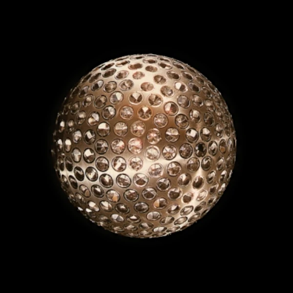
Satellites such as LAGEOS are aluminum spheres covered with retro-reflectors specifically designed for laser ranging. Placed in a medium orbit of about 5,900 km, they serve as inertial reference points. By observing their trajectories with extreme precision, researchers can detect local and global gravitational anomalies, study variations in the Earth's moment of inertia, or test the prediction of frame-dragging of general relativity, as demonstrated by the Gravity Probe B mission.
Satellite laser ranging is not limited to geophysical observation: it becomes a cutting-edge tool for probing the very foundations of gravity. Indeed, ultra-precise measurements of orbits make it possible to examine whether Newtonian gravitation or general relativity are rigorously valid in the Earth's environment. One of the pillars of this verification is the weak equivalence principle, which postulates that all bodies fall with the same acceleration in a gravitational field, regardless of their mass or composition.
By observing the trajectory of two satellites of different masses, but placed in similar orbits, laser ranging can detect possible differential deviations. If one of the satellites accelerates more or less than the other, after correcting for non-gravitational effects (radiation pressure, atmospheric drag, etc.), this would suggest a violation of the equivalence principle, which would imply physical phenomena beyond general relativity.
These large-scale experiments can also constrain the value of the gravitational constant \(G\), notoriously difficult to measure precisely in the laboratory. If the orbits measured by laser ranging present systematic anomalies that can be attributed to a slightly different value of \(G\), this would provide an independent measurement of this fundamental constant.
Moreover, some models from quantum gravity or alternative theories (such as tensor-scalar theories, massive gravity models, or dilaton-type effects) predict slight corrections to the gravitational force, detectable via nanometric orbital measurements.
Thus, missions integrating laser ranging, such as LARES, MICROSCOPE, or future STEP-type satellites (Satellite Test of the Equivalence Principle), aim to push the tests of general relativity to an unprecedented level of precision. SLR thus becomes a true orbital laboratory for fundamental gravity.
With the development of advanced optical technologies, ultra-fast receivers, and post-processing algorithms using artificial intelligence, laser ranging today achieves a resolution that allows detecting position changes on Earth with sub-millimeter precision. GNSS systems can be recalibrated in real-time thanks to SLR stations, improving global geodynamic models. By combining this data with that from gravitational interferometers or altimetric satellites (such as Jason-3 or Sentinel-6), Earth physics becomes an open-air laboratory.
The future of laser ranging also lies in inter-satellite networks, such as those envisioned in the LISA (Laser Interferometer Space Antenna) program, which will use laser beams to directly measure gravitational waves between several spacecraft in solar orbit, with precision on the order of picometers. These measurements, far beyond simple orbital tracking, will open new doors to precision cosmology.
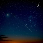 How to Spot Starlink Satellite Trains in the Sky?
  AI, the Astronomer's New Eye: From Analysis to Cosmic Prediction
 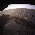 What the First Images from Perseverance Show Us: The Surface of Mars, As If We Were There
 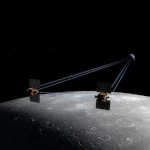 GRAIL Twin Probes: Mapping the Moon's Hidden Interior
  Earth Under Surveillance: Observation Satellites
 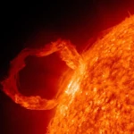 March 2010: The Ring of Fire Captured by the SDO Observatory
 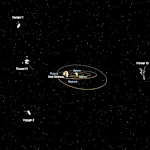 Positions of Space Probes in 2025
  Giants of Observation: The Largest Ground-Based Telescopes
 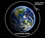 Low Earth Orbits and their uses
 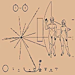 Pioneer, first message to extraterrestrials!
  How to see infrared images from JWST?
  Sputnik 1 and 2: The Dawn of the Space Age
  ENVISAT: Ten Years of Uninterrupted Observation of Earth's Ecosystems
  Lagrange Points: Gravitational Gateways of the Solar System
  Mars Reconnaissance Orbiter: The Lynx Eye Revealing Martian Secrets
 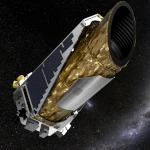 Kepler: 4,000 Worlds and More, A New Map of the Sky
  Why Measure Space at the Nanometer Level?
 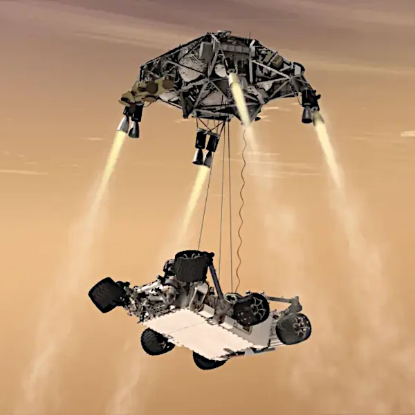 High-risk landing for Curiosity in 2012
 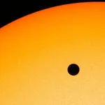 Cheops Space Telescope: A New Vision on Exoplanets
 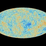 The world of Planck
 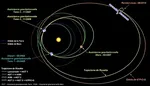 Rosetta Space Probe: Comet Churyumov-Gerasimenko
  The Hubble Space Telescope: Three Decades of Revelations
 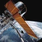 Première photo du télescope Hubble
 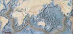 Satellites that measure underwater relief
 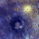 MESSENGER: The First Probe to Visit the Mysterious Planet
  How GPS Locates Your Position at Any Time?
 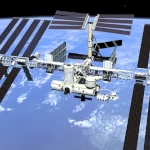 The ISS and Beyond? Towards the End of a Space Chapter
  Space Telescopes: Humanity's Eye Beyond the Atmosphere
  Space Probes: Interplanetary Travelers and Beyond
 The GAIA satellite maps the Milky Way
  How to calculate the synchronous orbit?
  E-ELT: The World's Largest Optical Telescope
 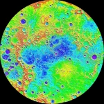 Mercury probes
 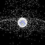 Space Debris: The Nightmare of Modern Satellites
 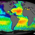 Aquarius: A Mission to Map Ocean Salinity
 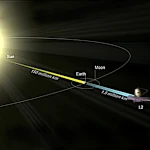 JWST: An Unprecedented Look at the First Lights of the Universe
  METEOSAT: A Key Satellite for Climate Monitoring
 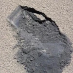 Curiosity, the first shovel, sample of Martian soil
 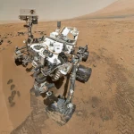 From Mariner to Perseverance: Successes and Failures of Mars Probes
  Where is the geostationary orbit?
 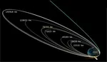 MOM, the technological demonstration
 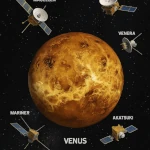 Venus under surveillance: an overview of space probes
 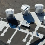 What Is an Astronomical Interferometer?
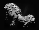 The Philae Robot and the Rosetta Comet
 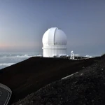 Mauna Kea Under the Stars: The CFHT Telescope in Pursuit of the Universe's Mysteries