Decrease sea ice
The decrease in sea ice continues
The latest data from NASA and the National Snow and Ice Data Center, the Arctic sea ice, show that throughout a decade, the trend to reduced coverage of sea ice, continues. New evidence and satellite observations show that the icecap has thinned greatly. Arctic sea ice acts as an air conditioner for the global climate system. The ice that naturally cools the air and water bodies, plays a key role in ocean circulation, reflecting the solar radiation in space. In recent years, Arctic sea ice has declined at a rate surprising.
Scientists who follow the space, the coverage of Arctic sea ice, have announced that the winter of 2009 showed the fifth lowest ice extent. The six lowest levels since satellite monitoring began in 1979 have all occurred over the last six years (2004-2009).
Until recently, most of the Arctic ice has survived at least one summer and often several. But things have changed dramatically, according to a team from the University of Colorado, led by Charles Fowler. The ice that melts and freezes again every year, represents about 70 percent of the Arctic, up from 40 to 50% since the 1980s and 1990s.
According to researchers at the National Snow and Ice Data Center in Boulder, Colorado, the maximum ice extent for 2008-09, reached on Feb. 28 was 5.85 million square miles.
That's 278,000 square miles less than the average for years 1979 to 2000. These measures are important but they do give us a two-dimensional view of the ice cover. The most important is the thickness of the ice, especially in winter, because it is the best indicator of the health of the ice.
The Arctic ice cap grows every winter when the sun goes down for several months and the cold weather settles. The ice thickness is difficult to measure directly, for scientists. They generally use this, estimates of ice thickness and its approximate age.
They found that the largest and oldest pieces of ice are in decline and are replaced by thinner pieces and therefore more vulnerable to summer melt.
"With these new data on both the size and thickness of Arctic sea ice, we will be able to understand sensitivity and vulnerability of the ice cover to climate change," said Kwok.
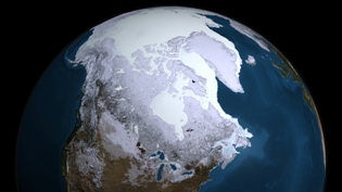
Image: This image taken by the instrument AMSR-E Aqua satellite shows the maximum extent of ice from Greenland to February 28, 2009.
Credit: NASA Goddard's Scientific Visualization Studio
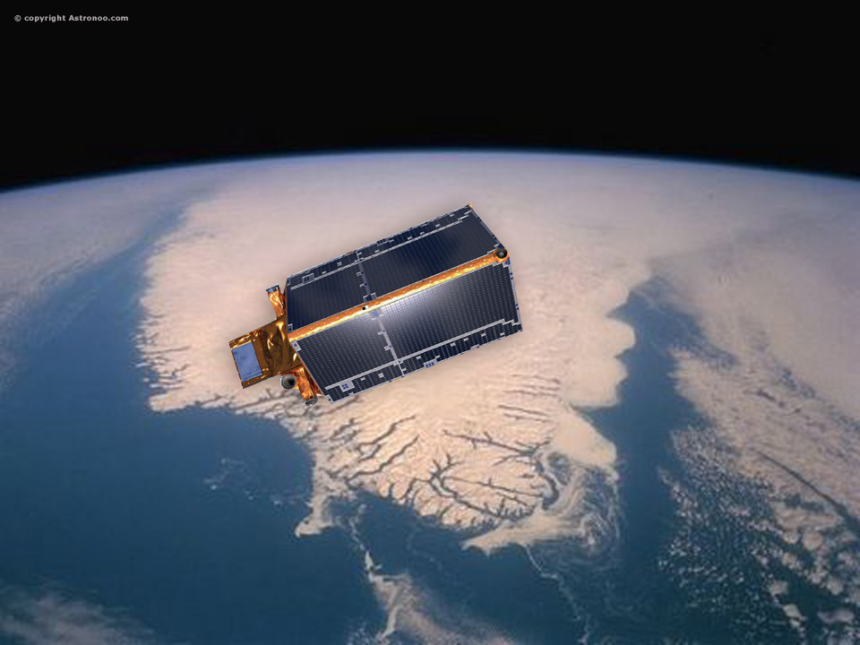
Mission Cryosat-2
ESA's Earth Explorer CryoSat mission is dedicated to precise monitoring of changes in the thickness of floating sea ice in polar oceans, and variations in the thickness of the ice cap covering Greenland and Antarctica. The effects of climate change are much more visible in the polar regions, it is important to understand exactly how the ice fields of the Earth react.
The decrease in ice cover is often cited as an early victim of global warming and polar ice plays an important role in regulating climate and sea levels.
The CryoSat-2 satellite was launched into orbit Thursday, April 8, 2010 by Dnepr rocket launched from Kazakhstan, CryoSat-2 will follow the variations in the height of the ice in the polar regions, with millimeter precision. Thanks to the altimeter and the help of Doris, the satellite CryoSat-2 will measure variations in the height of the ice. "After the failed launch of CryoSat-1 in 2005, it was decided very quickly to a new satellite to observe the ice, said Francoise Schiavon, project leader at CNES CryoSat-2. The satellite, orbiting polar ice caps fly regularly for 3 years until 2013.
Each time, the altimeter will measure the height of the ice of Antarctica and the Arctic but also that of sea ice and mountain glaciers.
For bumpy areas, like the edges of the Antarctic glaciers, take 2 altimeter measurements at 2 different angles to get information on the terrain.
The CryoSat-2 will fly over the Earth at an altitude of just over 700 km, reaching latitudes of 88 °.
"All data will be archived by the CNES will be capable of generating altimetric products demand," said Francoise Schiavon.
In responding to this challenge, data from the CryoSat mission will help us understand how climate changes affect these areas and lead to a better understanding of the role ice plays in the Earth system.
Image: Images assemblies of the CryoSat-2 satellite above the sea ice.
Articles on the same theme
 The Demographic Transition: Growth or Decline?
  Lake Agassiz: A Deluge that Changed the Climate
 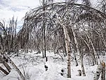 Drunken Forests: Understanding the Phenomenon of Permafrost Thaw
  There is Electricity in the Air!
  Why Doesn't CO2 Fall to the Ground?
  Dramatic Consequences of the El Niño Phenomenon
 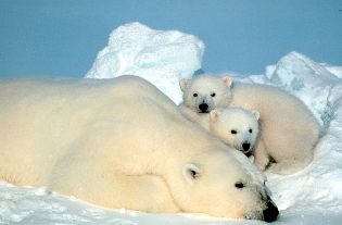 Will man be the biggest animal on Earth?
 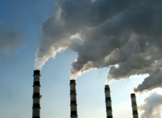 Acid
rain beyond the natural
Acid
rain beyond the natural 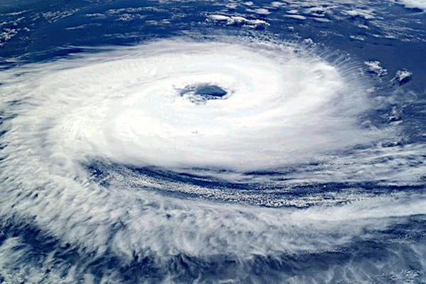 Global warming
 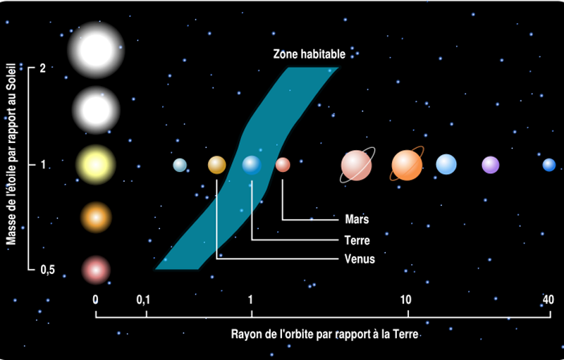 Habitable zones or ecosphere of stars
 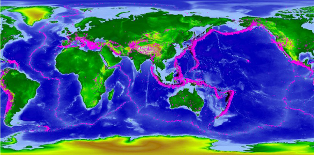 Ocean water from elsewhere
  Sustainable development, the living are watching us
 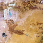 The Aral Sea: A Lesson for Humanity
 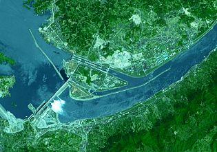 The largest dam in the world
  The Hottest Years Since Records Began
 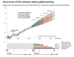 Magnitude of future global warming
  Earth in Crisis: Collapse or Renaissance?
  Water reservoirs on Earth
  How much is the sea level rising?
  Planetary
Darkening
Planetary
Darkening  The Land of Thirst
 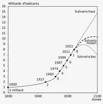 World Population from 1800 to 2100
  Oil: The Fall of a Giant in the Era of Renewable Energy
  Kamchatka King Crab: A Giant of the Oceans
  The
collapse of a society
The
collapse of a society 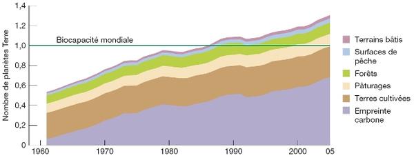 Global Ecological Footprint
 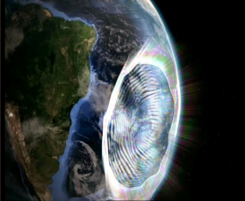 The South Atlantic Anomaly
  The phenomenon of soil sinking is called subsidence
  The disturbing cloud cover of the Earth
1997 © Astronoo.com − Astronomy, Astrophysics, Evolution and Ecology.
"The data available on this site may be used provided that the source is duly acknowledged."
How Google uses data
Legal mentions
English Sitemap − Full Sitemap
Contact the author