Level of the oceans
How much sea level rises?
The issue is of concern for the whole of humanity that feels responsible for climate change which it live.
The probes and satellites continuously measures the level of water on Earth.
Researchers from LEGOS, Laboratoire d'Etudes en Géophysique et Océanographie Spatiales (CNRS / Université Toulouse 3/CNES/IRD) and a subsidiary of CNES (CLS: Collecte Localization Satellite), explains that the accelerated melting of continental ice is responsible the vast majority of the rising sea level during the period 2003-2008.
To reach this finding, researchers rely on data from French-American satellite Jason-1, the two satellites of the space mission GRACE gravimetric and Argo buoy system. These results are published on the website of the journal Global and Planetary Change.
In 10 years, between 1993 and 2003, the overall average level of the sea, as measured by satellites Franco-American Topex / Poseidon and its successor Jason-1, was mounted at a relatively constant rate of 3 mm / year. The IPCC report, published in 2007, showed an increase of about 1.5 mm / year, was due to the expansion of ocean waters are warming, while 1.2 mm / year from loss of mass polar caps and mountain glaciers.
Since 2003, there is still a fairly rapid rise of sea level (2.5 mm / year), but the warming of the ocean has less effect, the steric contribution (in the three-dimensional space) to higher level sea is only 0.4 mm / year.
Image: The magnificent Perito Moreno glacier in Patagonia (Argentina).

The expansion of the seas
Thermal expansion was calculated by two independent methods:
- The network of buoys transmit Argo profiles of temperature and salinity throughout the world ocean. Since 2003, the integration of all the valid data in the 900 meters of the ocean leads to a steric contribution of about 0.4 mm / year.
- This value was confirmed independently by the space as the difference between the rise in sea level observed by the altimeters TOPEX / Poseidon and Jason-1 and increase the stock of water in the oceans as seen by GRACE . Satellites show a steric contribution of 0.3 mm / year close to the value deduced from the Argo floats.
Especially the increase of the mass of ocean water rather than its heat content that is causing the increase in the level observed since 2003. GRACE data were used to measure changes in mass of the two polar caps Arctic and Antarctic, which contribute to 1 mm / year to rising sea levels, or 2 times more than during the previous decade.
For mountain glaciers, the most recent estimates of glaciologists indicate a contribution of 1.1 mm / year.
The loss of ice masses explain that the mass of ocean water increases and are responsible for 80% of the increase in mean sea level.
The figure to remember is the increase of about 4 mm/year of the oceans of our planet.

Articles on the same theme
1997 © Astronoo.com − Astronomy, Astrophysics, Evolution and Ecology.
"The data available on this site may be used provided that the source is duly acknowledged."
How Google uses data
Legal mentions
English Sitemap − Full Sitemap
Contact the author
 The Demographic Transition: Growth or Decline?
  Lake Agassiz: A Deluge that Changed the Climate
  Drunken Forests: Understanding the Phenomenon of Permafrost Thaw
  There is Electricity in the Air!
  Why Doesn't CO2 Fall to the Ground?
  Dramatic Consequences of the El Niño Phenomenon
  Will man be the biggest animal on Earth?
  Acid
rain beyond the natural
 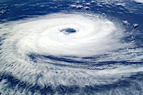 Global warming
 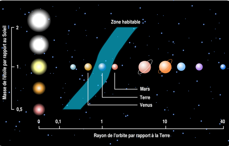 Habitable zones or ecosphere of stars
 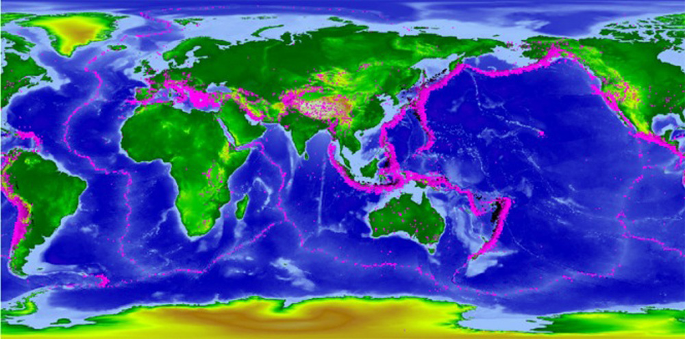 Ocean water from elsewhere
  Sustainable development, the living are watching us
  The Aral Sea: A Lesson for Humanity
  The largest dam in the world
  The Hottest Years Since Records Began
  Magnitude of future global warming
  Earth in Crisis: Collapse or Renaissance?
  Ice on the Brink: The Inevitable Decline of Arctic Sea Ice
  Earth's Water Reservoirs: From Oceans to Groundwater
  How much is the sea level rising?
  Planetary
Darkening
  The Land of Thirst
  World Population from 1800 to 2100
  Oil: The Fall of a Giant in the Era of Renewable Energy
  Kamchatka King Crab: A Giant of the Oceans
  The
collapse of a society
  Slight Progress in the Global Ecological Footprint
  The South Atlantic Anomaly
  The phenomenon of soil sinking is called subsidence
  The disturbing cloud cover of the Earth