Launched in May 2002, the Aqua satellite, which as its name suggests, is designed to study the water cycle on Earth.
Aqua observe the oceans, atmosphere, land, stretches of ice and snow and vegetation of our earth, allowing scientists to study the interactions between key components of the Earth system. NASA is studying the ecosystems through this satellite.
From the same family as the Terra satellite, launched in December 1999, Aqua has a lifetime fixed at six years. Equipped with 6 sensors, Aqua is collecting data on precipitation, evaporation, ice and snow cover, moisture in the atmosphere and land surface, the radiative energy flow, temperature and color oceans, or in a more general data on the water cycle.
The temperature and the color of the water are observed from radiometer MODIS (Moderate Resolution Imaging Spectroradiometer), which measures reflectance in 36 spectral bands from 0.4 to 14 m. | | On 15 November 2008, MODIS captured this image of a phytoplankton bloom around the Chatham Islands.
Like plants, these organisms contain chlorophyll and other pigments recovery of photosynthesis.
The pigments are changing the way the ocean surface absorbs and reflects sunlight, creating swirls of colors trace the location of the bloom.
The Chatham Islands are situated in the southern Pacific Ocean about 800 kilometers east of New Zealand. They are at the eastern end of a band called Chatham Rise; sub-plateau which stretches east from New Zealand.
The depth of water, combined with its geographical location where the warm waters of the north mix with the cold waters of Antarctica south is a field hospital for the phytoplankton. Image: phytoplankton bloom around the Chatham Islands. Credit: NASA / MODIS | | Image: Mouse over image to zoom in on selected area, you can choose by clicking the zoom zone. |
 Automatic translation


 Redshift calculation (z)
 Spectacular airglow in France
 Light, all the light of the spectrum
 The spicules of the Blue Sun
 Global dimming
 Solar pillar, a link between sky and earth
 The speed of light and space-time
 The Universe of X-rays
 Diamond rings above the Pacific
 The incredible precision of the second
 Effects of light aberration
 Radioactivity, natural and artificial
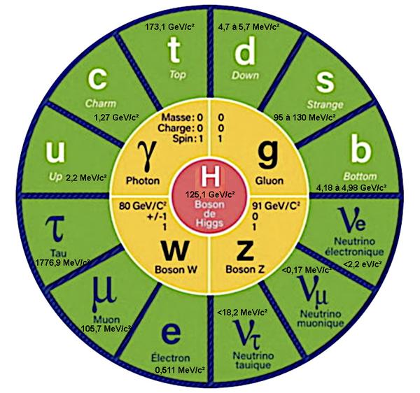 Why do elementary particles have no mass?
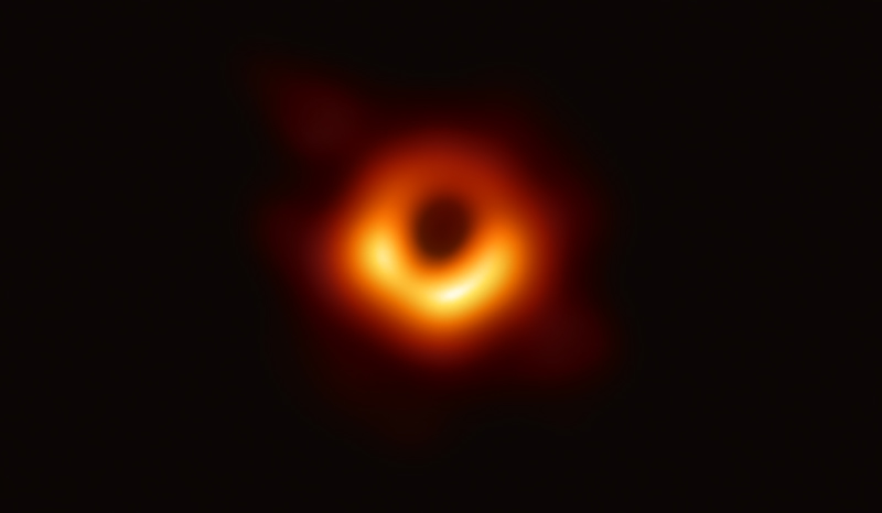 The shadow of the black hole
 Dawn and its rays of light
 The Blue Moon
 Gravitational illusion or gravitational lens
 The incredible illusion of the same color
 Perfect storm and devastating effects
 The infernal journey of the photon
 The power of the Sun
 Bioluminescence of living organisms
 Eclipses explained by the plane of the orbit
 Super Moon
 Laser light
 We do not see with our eyes but with our brain
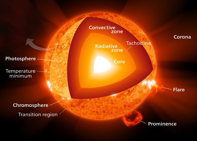 Differences between heat and temperature
 Big Moon Illusion
 Zodiacal light, the diffuse white glow
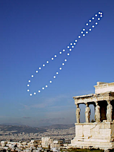 Explanation of the 8 of the analemma
 The colors of the rainbow
 Shadow of the Earth anti-twilight ark
 How many photons to heat a cup of coffee?
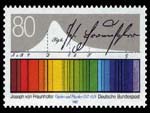 Spectroscopy, an inexhaustible source of information
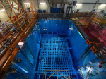 The Cherenkov light
 The lights of the Sun
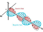 What is a wave?
 Planck's equation and black body light
 Energy Conservation