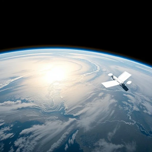
Since the advent of the space age, satellites for Earth observation have allowed monitoring of our planet with unprecedented precision. These instruments provide data on climate, oceans, forests, as well as urban and agricultural areas. Their observations are essential for disaster management, deforestation monitoring, and the study of climate change.
Main Types of Observation Satellites
Observation satellites are mainly divided into three categories:
Optical satellites: capture images in the visible and near-infrared spectrum.
Radar satellites: use microwave signals to obtain images even through clouds or at night.
Altimetric satellites: measure ocean and land surface topography using instruments like Synthetic Aperture Radar (SAR).
Scientific and Environmental Applications
These satellites provide crucial data for:
Monitoring natural disasters such as floods, fires, or earthquakes.
Studying the evolution of glaciers and polar ice caps.
Monitoring urbanization and land-use changes.
Climate modeling and weather forecasting.
Monitoring air quality and greenhouse gas emissions.
Observing oceans, currents, and sea surface temperatures.
Tracking deforestation and forest regeneration.
Managing water resources, including groundwater.
Monitoring crops and food security.
Assessing the environmental impact of mining and industrial activities.
Mapping coastal areas and preventing coastal erosion.
Detecting and monitoring volcanic and geological phenomena.
Urban planning and analyzing population growth.
Protecting biodiversity through monitoring natural habitats.
Validating and improving global climate models.
Examples of Iconic Satellites
Some satellites have become benchmarks for Earth observation:
Copernicus Sentinel-2: for vegetation and soil monitoring.
Terra and Aqua: NASA missions for studying the atmosphere and oceans.
Envisat: ESA mission for global environmental observation.
Comparison Table of Satellites
Characteristics of Selected Observation Satellites
Satellite
Mission
Main Instrument
Agency
Sentinel-2
Soil and vegetation monitoring
Multispectral
ESA
Terra
Climate and atmosphere study
MODIS, ASTER
NASA
Envisat
Global environmental observation
MERIS, ASAR
ESA
Aqua
Oceans and atmosphere observation
MODIS, AMSR-E
NASA
Sentinel-1
Radar for land and maritime surveillance
SAR
ESA
GOES-16
Real-time meteorological observation
ABI, GLM
NOAA
Landsat 9
Soil and environmental monitoring
OLI-2, TIRS-2
NASA / USGS
ICEsat-2
Glacial ice and land topography measurement
ATLAS
NASA
SMAP
Soil moisture monitoring
Radar and radiometer
NASA
Copernicus Sentinel-5P
Air quality and pollutant monitoring
TROPOMI
ESA
Jason-3
Ocean altimetry observation
Radar altimeter
NASA / CNES
Suomi NPP
Global climate monitoring
VIIRS, CERES
NASA / NOAA
GRACE-FO
Measurement of Earth's gravity variations
Gravimeter
NASA / GFZ
ADEOS-II
Atmospheric and oceanic observation
Multispectral and radars
JAXA
TerraSAR-X
Radar imaging for mapping and surveillance
SAR
DLR
Gaofen-1
Multispectral soil and agriculture observation
Multispectral camera
CNSA / CAST
Gaofen-2
High-resolution optical imaging
High-resolution optical camera
CNSA / CAST
Gaofen-3
Synthetic Aperture Radar (SAR) for maritime and land surveillance
SAR
CNSA / CAST
Gaofen-6
Optical imaging for soil monitoring and mapping
Multispectral optical camera
CNSA / CAST
Gaofen-7
Stereoscopic observation for topography and mapping
How Many Observation Satellites Are Orbiting in 2025?
In 2025, approximately 11,700 active satellites orbit the Earth, most in LEO below 2,000 km altitude. These satellites perform a variety of missions, including telecommunications, navigation, Earth observation, scientific research, and defense.
Among this total, around 1,000 satellites are specifically dedicated to Earth observation. This category includes civil, military, and commercial satellites such as the Pléiades Neo, CO3D, NISAR, FLEX, TRISHNA, Sentinel-6B constellations, as well as satellites from Planet Labs, ICEYE, and other private operators.
The total number of observation satellites is constantly increasing. Future projects aim to deploy new constellations to improve coverage and observation frequency. In 2025, these satellites represent approximately 8% of the total of active satellites in low Earth orbit.
Note: The exact number of Earth observation satellites is actually an estimate, not an absolute figure, due to satellites whose information is not publicly disclosed, notably those of China, Russia, or certain military programs.
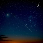 How to Spot Starlink Satellite Trains in the Sky?
  AI, the Astronomer's New Eye: From Analysis to Cosmic Prediction
 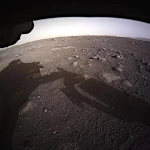 What the First Images from Perseverance Show Us: The Surface of Mars, As If We Were There
 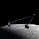 GRAIL Twin Probes: Mapping the Moon's Hidden Interior
  Earth Under Surveillance: Observation Satellites
 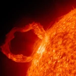 March 2010: The Ring of Fire Captured by the SDO Observatory
 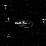 Positions of Space Probes in 2025
  Giants of Observation: The Largest Ground-Based Telescopes
 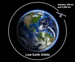 Low Earth Orbits and their uses
 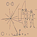 Pioneer, first message to extraterrestrials !
  How to see infrared images from JWST?
  Sputnik 1 and 2: The Dawn of the Space Age
  ENVISAT: Ten Years of Uninterrupted Observation of Earth's Ecosystems
  Lagrange Points: Gravitational Gateways of the Solar System
  Mars Reconnaissance Orbiter: The Lynx Eye Revealing Martian Secrets
  Kepler: 4,000 Worlds and More, A New Map of the Sky
  Why Measure Space at the Nanometer Level?
  High-risk landing for Curiosity in 2012
  Cheops Space Telescope: A New Vision on Exoplanets
  The world of Planck
  Rosetta Space Probe: Comet Churyumov-Gerasimenko
  The Hubble Space Telescope: Three Decades of Revelations
 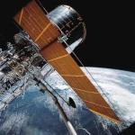 Première photo du télescope Hubble
 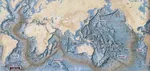 Satellites that measure underwater relief
 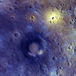 MESSENGER: The First Probe to Visit the Mysterious Planet
 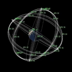 How GPS Locates Your Position at Any Time?
 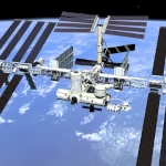 The ISS and Beyond? Towards the End of a Space Chapter
  Space Telescopes: Humanity's Eye Beyond the Atmosphere
  Space Probes: Interplanetary Travelers and Beyond
 The GAIA satellite maps the Milky Way
 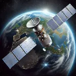 How to calculate the synchronous orbit?
  E-ELT: The World's Largest Optical Telescope
  Mercury probes
 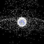 Space Debris: The Nightmare of Modern Satellites
 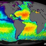 Aquarius: A Mission to Map Ocean Salinity
  JWST: An Unprecedented Look at the First Lights of the Universe
 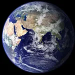 METEOSAT: A Key Satellite for Climate Monitoring
  Curiosity, the first shovel, sample of Martian soil
 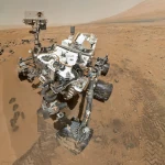 From Mariner to Perseverance: Successes and Failures of Mars Probes
  Where is the geostationary orbit?
 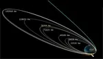 MOM, the technological demonstration
 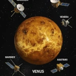 Venus under surveillance: an overview of space probes
  What Is an Astronomical Interferometer?
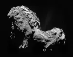 The Philae Robot and the Rosetta Comet
 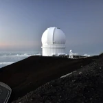 Mauna Kea Under the Stars: The CFHT Telescope in Pursuit of the Universe's Mysteries