Netherlands seen by the satellite Envisat
Radar image of Netherlands
On this satellite picture of Netherlands, Envisat shows us Amsterdam, the channel) of the North Sea, the lake of Ijssel, the lake of Marken, the port of Rotterdam, the province of Zeeland, The Hague, Noordwijk, Utrecht...
The channel of the North Sea is the big waterway which cuts Netherlands in two, from east to west. He(it) is visible little above the environment of the image.
On this image cities appear in white. Amsterdam is situated on the south bank of the Channel of the North Sea, between waters of the North Sea to the left and the big lake of Ijssel. Ancient Zuiderzee was closed in 1932, giving birth to the lake of Ijssel. It was a part of big works of polderisation of the 20th century with a set of dams which have to protect the South of the country, the floods. Named Markermeer, the lake of Merken, this water tank of 700 km2 and shallow, between 3 and 4 meters, is separated from the North Sea by a dike, visible in the upper of the image.
Its name results from the name of the ancient island of Marken, at present connected in the northern Holland by a dike. In this province of the North of Netherlands we discover the province of Flevoland, at the top to the right and in pink on the image, which is a flat zone of grounds gained on the sea and used henceforth for the agriculture. Below to the left it is the province of Zeeland with the port of Rotterdam known to be the biggest industrial port of Europe that extends over more than 40 km and 10000 hectares. Rotterdam is inside lands by going back up along the port. It is the second town of the country with more than a million inhabitants, after Amsterdam.
The city center is situated on the north bank of the New Meuse, which divides the city into two.
The port of Rotterdam benefits from the back-country ( hinterland ) the richest in the world, with which it is mainly connected by the big rivers of Europe of the Northwest, the Rhine, the Meuse and the Schelde. These rivers allow to navigate in Netherlands, Belgium, the West of Germany, the Northeast of France, and until Switzerland. The Hague, the third city of the country, is visible along the coast in the northeast of the port of Rotterdam. The Hague is the siege of the government of Netherlands. It is situated in the province of Zuid-Holland. In the North of The Hague, always on the coast, we see the city of Noordwijk, where is established the ESTEC, the European Center of spatial research and technology of the ESA. The launch on 17/05/1968 of the first European satellite of scientific researches, Esro-2, conceived and made in partnership with several countries, had its technical center to Noordwijk. Situated in the middle of Netherlands, the fourth most big city of Netherlands, Utrecht, with her 295 000 inhabitants, in 1rd in February, 2008, is visible in white, down and to the right of the center of the image.

Image: In a radar image, there is no color. Here, the color was obtained from three images acquired by the radar with synthesis of opening ASAR (Advanced Synthetic Aperture Radar) in different dates with a specific color associated with each. In it dissimilar, the blue corresponds to the data of March 12th, 2008, the green on July 30th, 2008 and the red on November 28th, 2007.
Articles on the same theme
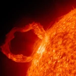 March 2010: The Ring of Fire Captured by the SDO Observatory
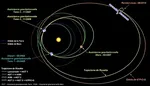
 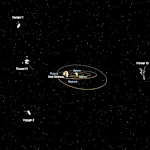 Positions of Space Probes in 2025
  Giants of Observation: The Largest Ground-Based Telescopes
 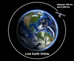 Low
Earth Orbits and their uses
Low
Earth Orbits and their uses  Pioneer, first message to extraterrestrials !
  How to see infrared images from JWST?
  Sputnik, the Russian
companion
Sputnik, the Russian
companion 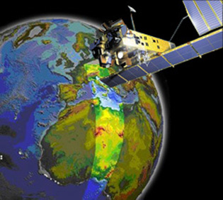 Envisat, the eye high-resolution of the Earth
 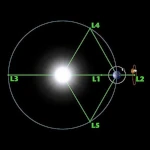 Lagrange Points: Gravitational Gateways of the Solar System
 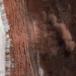 Mars Reconnaissance Orbiter: The Lynx Eye Revealing Martian Secrets
 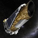 Kepler: 4,000 Worlds and More, A New Map of the Sky
  The Eclipse Seen from Above: What Satellites Reveal About the Hidden Sun
  Why Measure Space at the Nanometer Level?
 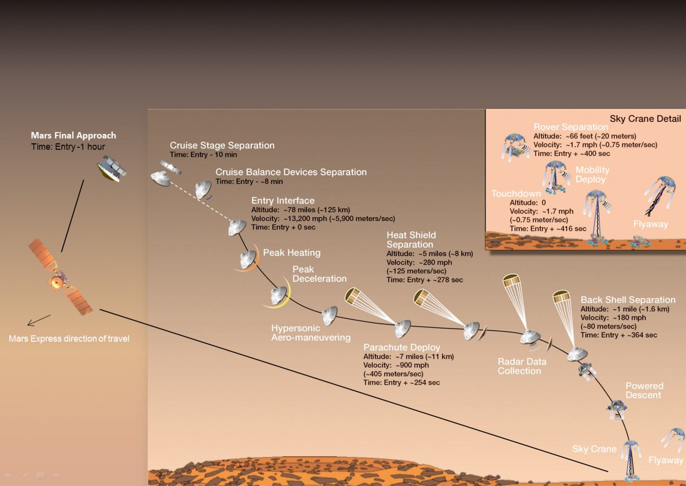 High-risk landing for Curiosity in 2012
 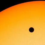 Cheops Space Telescope: A New Vision on Exoplanets
  The world of Planck
 Rosetta Space Probe: Comet Churyumov-Gerasimenko
  Satellites that measure underwater relief
  Adaptive optics and laser star
  Flyover
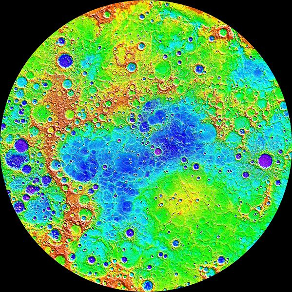
of Mercury by MESSENGER
Flyover
of Mercury by MESSENGER 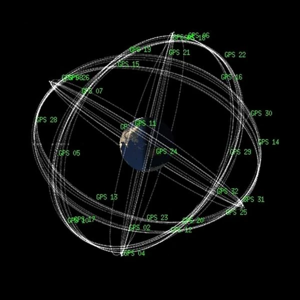 How GPS Locates
Your Position at Any Time?
How GPS Locates
Your Position at Any Time?  The ISS and Beyond? Towards the End of a Space Chapter
  Space
telescopes are the eyes of the Earth
Space
telescopes are the eyes of the Earth 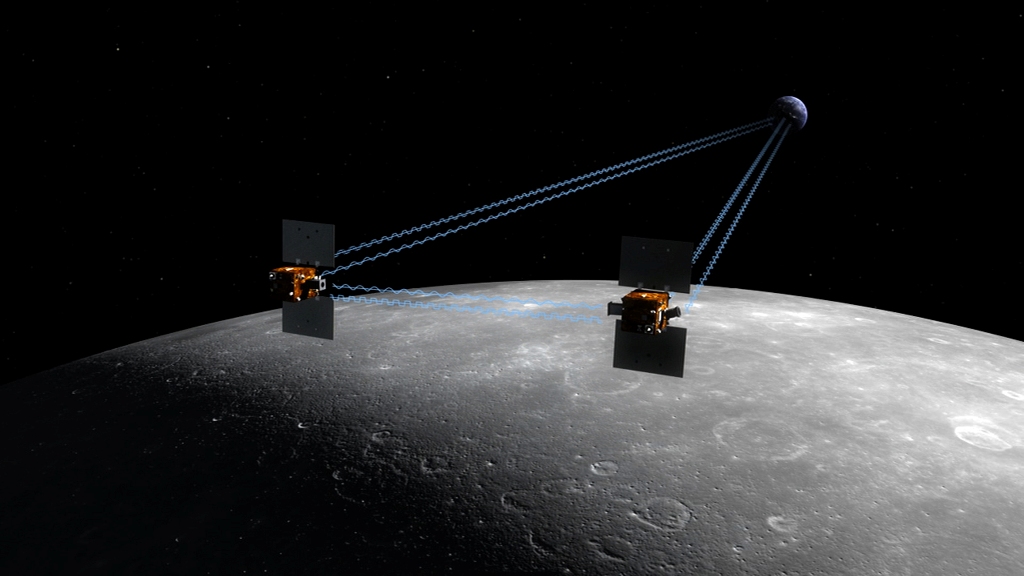 What is a space probe?
 JWST in the
depths of space
JWST in the
depths of space  The
GAIA satellite maps the Milky Way
The
GAIA satellite maps the Milky Way  How to calculate the synchronous orbit?
  Modern cathedrals
 Mercury probes
 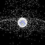 Space Debris: The Nightmare of Modern Satellites
 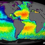 Aquarius: A Mission to Map Ocean Salinity
 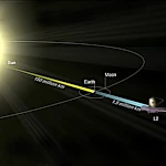 JWST: An Unprecedented Look at the First Lights of the Universe
  METEOSAT: A
Key Satellite for Climate Monitoring
METEOSAT: A
Key Satellite for Climate Monitoring  Curiosity, the first shovel, sample of Martian soil
  From Mariner to Perseverance: Successes and Failures of Mars Probes
  Living on the
planet Mars
Living on the
planet Mars 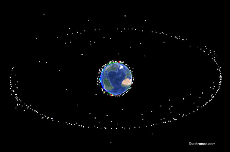 Where is the geostationary orbit?
 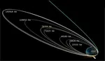 MOM,
the technological demonstration
MOM,
the technological demonstration 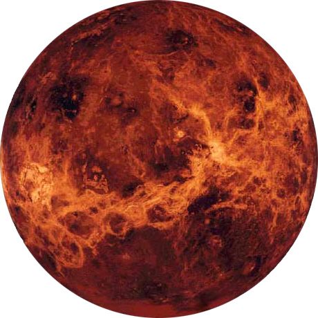 Venus probes
 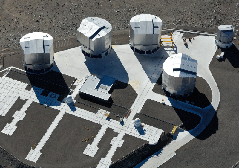 What is an interferometer?
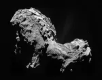 The Philae Robot and the Rosetta Comet
  Mauna Kea Under the Stars: The CFHT Telescope in Pursuit of the Universe's Mysteries
1997 © Astronoo.com − Astronomy, Astrophysics, Evolution and Ecology.
"The data available on this site may be used provided that the source is duly acknowledged."
How Google uses data
Legal mentions
English Sitemap − Full Sitemap
Contact the author